")
The geospatial industry is growing rapidly—but reaching GIS managers, remote sensing specialists, and location intelligence leaders requires precision targeting. Our Geospatial Industry Email List helps you connect with verified decision-makers across the entire geospatial ecosystem.
With accurate, segmented data, you can target GIS Managers, Remote Sensing Specialists, Lidar Data Analysts, Geodetic Engineers, Geospatial Software Developers, Surveyors, and Spatial Data Scientists with relevant messaging—driving stronger engagement and faster sales cycles.
Instead of chasing generic contact lists, leverage our verified Geospatial Email Database to connect with high-value geospatial professionals—helping you shorten your sales cycles and turn targeted outreach into real business growth.
CONTACTS
OPT-IN
ACCURACY
DATA FIELDS
TRUSTED BY LEADING ORGANIZATIONS

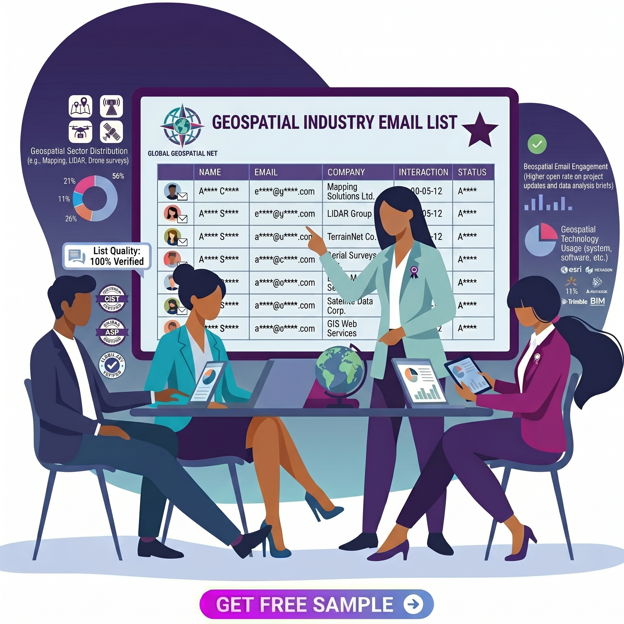
A Geospatial Industry Email List is a verified B2B contact database containing direct email addresses, full names, and professional titles of key decision-makers across the global geospatial sector—including GIS departments, remote sensing agencies, surveying firms, mapping companies, location intelligence providers, drone mapping operators, and government land management offices.
✅ Engage key decision-makers — responsible for GIS software procurement, remote sensing data licenses, surveying equipment purchases, spatial data infrastructure, and location analytics budgets
✅ Improve campaign performance — through targeted, industry-relevant messaging tailored to commercial geospatial firms, government agencies, academic research centers, and defense contractors
✅ Optimize marketing spend — by focusing resources on accurate, active business contacts from a verified Geospatial Industry Database built exclusively for this sector
✅ Accelerate go-to-market timelines — for geospatial software, lidar sensors, satellite data subscriptions, drone mapping solutions, and professional training
✅ Expand business reach — across North America, Europe, Asia-Pacific, Middle East, and Latin America, covering private, public, and academic geospatial organizations
Our Geospatial Email List is built to give you the depth, accuracy, and context your campaigns actually need to perform. Every record is pulled from legitimate, opt-in sources—including GIS industry trade shows (Esri UC, GeoIgnite, AGU, INTERGEO), professional associations (URISA, ASPRS, GITA), government registries, academic geospatial departments, and professional networks.
Every record gives you:
• Full Name & Job Title (GIS Manager, Remote Sensing Specialist, Lidar Analyst, Geodetic Engineer, Surveyor, Spatial Data Scientist, Geospatial Software Developer)
• Business Email Address (direct, verified)
• Direct Phone Number & Office Phone
• Organization Name, Website & LinkedIn URL
• Physical Mailing Address — Geospatial Industry Mailing List ready for direct mail
• Industry Segment (Government/Municipal, Defense/Intelligence, Commercial Geospatial, Academic Research, Utilities/Infrastructure, Agriculture, Environmental, Mining, Oil & Gas, Real Estate, Transportation)
• Primary Geospatial Focus (GIS, Remote Sensing, Photogrammetry, Lidar, GNSS, Surveying, Cartography, Spatial Analytics, Drone Mapping)
• Organization Size (employee count and annual revenue range)
• Geography (city, state/province, country, region)
• Software/Technology Used (Esri ArcGIS, QGIS, ERDAS IMAGINE, ENVI, Global Mapper, MapInfo, AutoCAD Map 3D, FME, GDAL, Google Earth Engine, etc. where available)
Our Geospatial Industry Email Lists serves a wide range of B2B companies whose products or services serve the geospatial supply chain. If your target customer works with maps, data, or location intelligence—our Geospatial Businesses database connects you directly.
Promote desktop GIS, web mapping platforms, spatial databases, and location analytics tools directly to GIS Managers, IT Directors, and Department Heads using our verified Geospatial Industry Email List.
Connect with remote sensing specialists, image analysts, and procurement leads who purchase satellite data, aerial photography, and lidar point clouds. Leverage our segmented Geospatial Email Database—filtered by industry segment and organization size—to deliver highly targeted outreach
Reach surveying firm owners, geodetic engineers, and field operations managers sourcing total stations, GNSS receivers, lidar scanners, and drone payloads using our Geospatial Industry Mailing List filtered by job title and geography.
Target drone program managers, remote pilots, and geospatial data processors at engineering firms, construction companies, and agricultural cooperatives using our Geospatial Industry Email Database
Connect with spatial data scientists, business intelligence leads, and analytics directors at retail, logistics, telecom, and insurance companies investing in location-based insights.
Access GIS coordinators, geographic information officers, and geospatial intelligence analysts at federal, state, and local government agencies—including defense mapping, cadastral survey, and emergency management offices.
| Geospatial Sector | Decision-Making Functions Covered |
|---|---|
Government
Government / Municipal GIS | GIS Coordinator, Geographic Information Officer, IT Director, Public Works GIS Manager, City Planner |
Defense
Defense & Intelligence | Geospatial Intelligence Analyst (GEOINT), Remote Sensing Officer, Mapping Specialist, Imagery Analyst |
Commercial
Commercial Geospatial Services | GIS Services Manager, Lidar Project Lead, Aerial Mapping Director, Survey Department Head |
Utilities
Utilities & Infrastructure | GIS Asset Manager, Network Mapping Supervisor, Spatial Data Administrator, Engineering GIS Lead |
Agriculture
Agriculture & Natural Resources | Precision Ag GIS Specialist, Remote Sensing Agronomist, Forestry GIS Analyst, Conservation Mapping Lead |
Environmental
Environmental & Conservation | Environmental GIS Analyst, Wetlands Mapper, Climate Data Specialist, Conservation Geospatial Manager |
Mining & Oil
Mining, Oil & Gas | Exploration GIS Analyst, Mine Mapping Engineer, Pipeline GIS Coordinator, Resource Geospatial Lead |
Transport
Transportation & Logistics | Route GIS Planner, Asset Location Analyst, Transit GIS Manager, Fleet Mapping Specialist |
Real Estate
Real Estate & Property | Property GIS Analyst, Land Records Manager, Appraisal GIS Specialist, Zoning GIS Coordinator |
Academic
Academic & Research | GIS Lab Director, Remote Sensing Research Faculty, Spatial Science Department Head, Geospatial Postdoc |
Drone/UAS
Drone Mapping / UAS | Drone GIS Operator, UAS Program Manager, Aerial Data Processing Lead, RPIC (Remote Pilot in Command) |
Surveying
Surveying & Engineering | Licensed Surveyor, Geodetic Engineer, Mapping Division Manager, Survey Department Owner |
Launch highly targeted campaigns that connect you directly with GIS Managers, Remote Sensing Specialists, and Procurement Heads. Using our verified Geospatial Email Database, deliver tailored product and service offerings that resonate—driving stronger open rates, faster demo requests, and higher conversion rates.
Connect directly with geospatial decision-makers using verified direct phone numbers from our Geospatial Industry Email List for effective outbound sales, follow-ups, and relationship building.
Leverage accurate Geospatial Industry Mailing List addresses to deliver brochures, product catalogs, event invitations, and location-based campaigns directly to the right organizations with precision.
Identify geospatial professionals for LinkedIn and Twitter outreach based on role, industry segment, and organization size using our Geospatial Industry Email Lists.
We provide fully customized lists filtered by industry segment, primary geospatial focus, job title, organization size, software used, and geography—so you can reach the exact geospatial audience with precision.
Our Geospatial Industry Email Database covers verified contacts across North America (USA, Canada), Europe (UK, Germany, France, Italy, Spain, Netherlands), Asia-Pacific (Australia, New Zealand, Japan, India, China), Middle East (UAE, Saudi Arabia, Israel), and Latin America—giving your campaigns direct access to geospatial professionals in every major market.
To ensure effortless CRM integration, our Geospatial Email List leads are delivered in universally accepted .xls and .csv formats. Works with HubSpot, Salesforce, Mailchimp, ActiveCampaign, Zoho, Pipedrive, and more.
All contacts in our Geospatial Industry Mailing List are 100% opt-in, gathered from verified and fully compliant sources. No scraped data, no guesswork.
In the event of hard bounce contacts, we will promptly replace them or provide suitable credits. All replacement records will be delivered at no additional cost.
Every record in our Geospatial Industry Email Database is reviewed and refreshed every 30 to 45 days—maintaining 95% accuracy, maximizing deliverability, and keeping your campaigns performing at their peak.
| Company Name | Website URL | Contact Name | JoB Title | Industry segment | Revenue | Business Email | Phone |
|---|---|---|---|---|---|---|---|
| Esri | www.******.com | * * * * * * * * | * * * * * * * * | Commercial GIS Software | * * * * * * | * * * * * * * * | * * * * * * |
| Fugro | www.******.com | * * * * * * * * | * * * * * * * * | Commercial Geospatial | * * * * * * | * * * * * * * * | * * * * * * |
| USGS (United States Geological Survey) | www.******.com | * * * * * * * * | * * * * * * * * | Government Mapping | * * * * * * | * * * * * * * * | * * * * * * |
| Planet Labs | www.******.com | * * * * * * * * | * * * * * * * * | Satellite Imagery | * * * * * * | * * * * * * * * | * * * * * * |
ContactMetrix gathers b2b contact data from verified, business-relevant, and publicly available sources. Each data record is carefully reviewed through a multi-step verification process, combining automated data validation with manual quality checks, to ensure relevance, precision, and compliance for professional outreach and research workflows.
Preview verified, up-to-date contacts tailored to your ideal customer profile, ready for sales and marketing outreach.
Request Sample Data
It is a verified database of direct contact information for decision-makers in the geospatial sector—including GIS managers, remote sensing specialists, lidar analysts, surveyors, and spatial data scientists—used by software vendors, hardware manufacturers, data providers, and service firms.
Generic B2B lists include broad IT or engineering contacts. Our list focuses specifically on geospatial professionals who work with GIS, remote sensing, lidar, surveying, and spatial analytics. We include industry segment, primary focus area, software used, and certifications—ensuring you reach the right specialist.
We provide direct business email addresses and verified phone numbers for GIS Managers, Remote Sensing Specialists, and Geospatial Directors. Our 95% accuracy and 30–45 day refresh cycles mean your emails land in the right inbox, not spam.
Absolutely. You can target by organization size (enterprise 1000+ employees), industry segment (defense, utilities, government), and specific job titles (GIS Manager, IT Director, Geospatial Procurement Lead). Our list includes contacts at Esri, Hexagon, Trimble, Maxar, government mapping agencies, and Fortune 500 geospatial departments.
Every record is reviewed and refreshed every 30 to 45 days. We also perform real-time email verification before delivery. Hard bounces are replaced at no cost
Yes. Our database includes technology usage data (Esri ArcGIS, QGIS, ERDAS, ENVI, Global Mapper, FME, Google Earth Engine, etc.) where available. You can filter contacts who use a specific platform for targeted upgrade or migration campaigns.
Yes. All contacts are 100% opt-in, permission-based, and sourced from compliant directories, professional associations, and opt-in events. We fully support GDPR, CAN-SPAM, and CASL regulations.
Yes. Request a free sample with real verified contacts from your target sub-sector (e.g., government GIS, commercial remote sensing, academic research). See the data quality, format, and relevance for yourself—no obligation to purchase.
Our Geospatial Industry Email Database is delivered in CSV (.csv) and Excel (.xlsx) formats, compatible with all major CRMs and email marketing platforms.
Both. Our Geospatial Industry Mailing List covers everything: independent GIS consultants, small surveying firms, medium-sized mapping companies, large engineering firms, government agencies, and multinational corporations. We ensure comprehensive reach across the entire geospatial ecosystem.